
Lesson 4: Mount Rainier Now
Mount Rainier Links
Here are some great links to see what is going on around Mount Rainier right now. You will be leaving the learning module when you go to these sites, so you'll have to use the BACK button to get back to the lesson.
Mount Rainier Currently
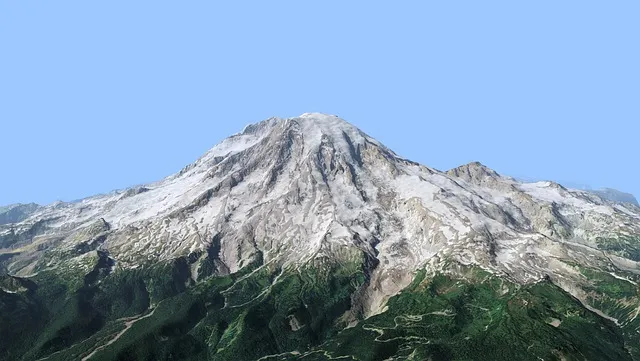
From the University of Washington's Red Square.
On a clear day, you can see Mount Rainier in the background.
Puyallup River Basin Stream Gauges
From the United States Geological Survey. Look at the gages above Orting on both the Puyallup and Carbon Rivers. Are they near flood level today? Be sure to look at the graphs - as they're much more interesting than in table format.
From the University of Washington's Geophysical Program. There are several things you can look at here - be sure not to miss the "Latest Earthquakes at Mount Rainier." Was there an earthquake today?
From The Weather Channel. Here you can see what the forecast is, as well as, view Doppler radar and satellite images.
Washington Rivers, Warnings, Tides, etc.
From the US Army Corps of Engineers. They have links to stream gauges, food warnings, tide datums, earthquakes, etc. for Washington.
You have completed the module! You can now continue with the links, works cited, and reference pages if you wish.
Next:
Continue with Mount Rainier - Links